
LandPro makes carbon sequestration ACCESSIBLE and TRANSPARENT
We imagine a world where climate-smart farmers, foresters, and administrators value and earn from carbon sequestration. They use LandPro to plan carbon-negative interventions, monitor their impacts, and make these gains available in the carbon market. Companies and Governments looking to offset carbon emissions buy these emissions through landPro, and involve carbon certification agencies to formalize the offset.
The power of AI and satellite at your finger-tips
LandPro ESTIMATES how much carbon there is in cropland’s soil and vegetation using AI and satellites. This helps farmers DEMONSTRATE how much carbon they are sequestering with their smart farming practices. LandPro CONNECTS Carbon market actors with those smart farmers, FACILITATES the carbon offset process and INCREASE TRANSPARENCY across the carbon cycle
Who can use LandPro ?
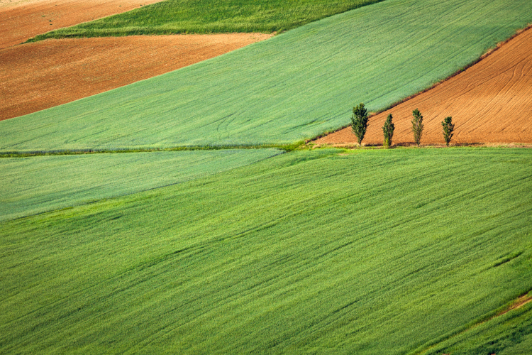
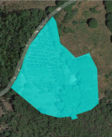
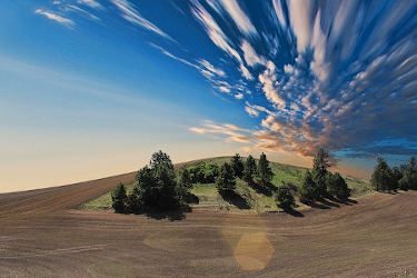
Most recent satellite images can be used to estimate CO2 in soil & vegetation, using interactive maps and web apps allow to easily reach the user, that can define an area of interest.

Farmers, Land Managers & environmental conservationists...
can use LandPro to plan adaptive and sustainable agriculture management, monitor and demonstrate CO2 sequestration efforts.
Local administrations and nature conservation institutions
understand the carbon sequestration potential of their area and the impact of their interventions.
Companies in the carbon credit marketplace and ESG finance...
can streamline and improve their carbon credit certification process, discover new potential partners on the ground and create portfolios of carbon saving interventions.
Harness AI and satellite imaging
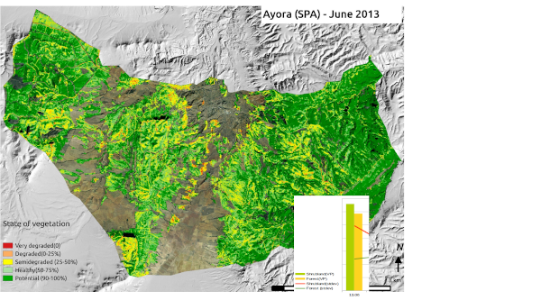
Robust, well-known and clear methodologies to quickly estimate and measure ground data.
How does it work ?
That's about it!
LandPro tools can be distinctly useful to farmers and land administrators, where the need for accurate, up-to-date data can help families produce more with smaller environmental impact.
Are you interested in LandPro ?
